
Topographic Survey | Bakersfield, CA
At Precision Surveying of Bakersfield, we regularly provide topographic survey services for the people across the Bakersfield, California area. This kind of survey has a profound impact on the utility and value of a sect of land – and so you need someone with the experience and knowledge to accurately carry out the work. Our land surveyor teams are the best in the business, and using our deep wells of knowledge, we’re guaranteed to give you a clear understanding of the land that’s being examined. With this information, you’ll have a much clearer path to getting any physical work that you’d like completed in the land accomplished. Read on below, and you’ll find a bit more information on the topographic surveys we carry out, and why they might just be what you’re looking for.
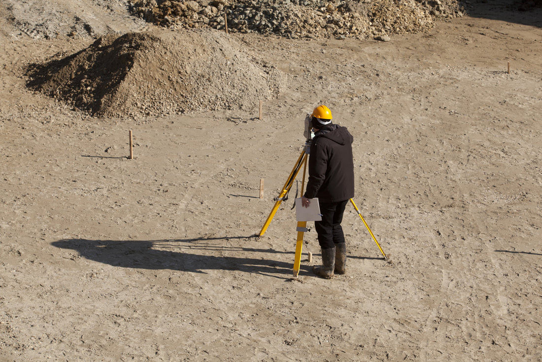
What is a Topographic Survey?So, what exactly is a topographic survey? In simple terms, a topographic survey is a process which is used to identify and map the physical features of the land, as well as the height and elevation of the space as you move across it. We follow all the necessary regulations to ensure that the survey is carried out to the highest standard, and there’s no question about the accuracy of the surveys that we complete. These topographic surveys can be arranged for a number of reasons – a few of which you can read about below.
When are Topographic Surveys Used?At Precision Surveying of Bakersfield, we’re quite used to taking on topographic survey requests across the year, and we’re confident that we’ll be able to manage a survey for any situation that you might be grappling with. Topographic surveys are often requested when a new housing development is being proposed, but they can also be carried out to assist with the development of ongoing architectural projects and construction works. Topographic surveys also see use in both small and large scale engineering projects that require a comprehensive insight into the lay of the land.
What Equipment is Used?At our company, we have an array of technical equipment that is of the highest standard. We have the best surveyors in the business, so it stands to reason that they should get the best equipment as well. We use top of the range total stations to get a clear image of the land we’re working on, and this is the primary tool in our arsenal – of course, it should also be said that they’re used in conjunction with GPS post-processing and even unmanned aerial reconnaissance vehicles – so we’ll have a complete understanding of the space being assessed.
Mapping FeaturesYou might think that topographic surveys involve only the physical land, and noting a boundary line here and there, but that’s not the case at all. Topographic surveys demand the mapping of both natural and physical features in the vicinity – so that could mean anything from roads, buildings and railways to rivers, hills and lakes. We’ll be painstakingly meticulous in our endeavors, ensuring that nothing is forgotten or left unnoticed.
|
|